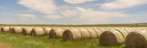

WaterPortal launches video on grassland and water health for film competition
The Alberta WaterPortal Society’s submission for Let’s Talk About Water’s 2021 International Film competition emphasizes the benefits that…
The Alberta WaterPortal Society publishes online games and videos for water learning at home
By Alixx Hettinga, Communications Coordinator for the WaterPortal Society The Alberta WaterPortal Society is releasing fun, new, online…
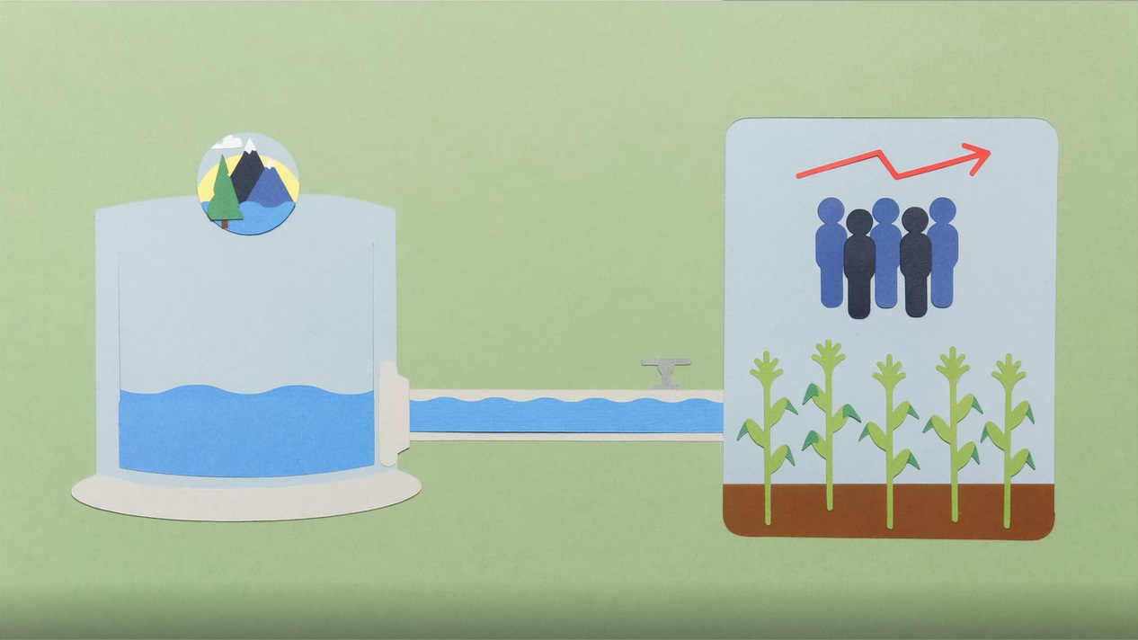
Water Connections Video Series
These four short videos introduce different aspects of how the agricultural sector in Alberta manages water quality and water efficiency practices. New agricultural technologies and adaptations to climate change are also discussed.